Recent Work
Examples of our topographic and aerial data collection.
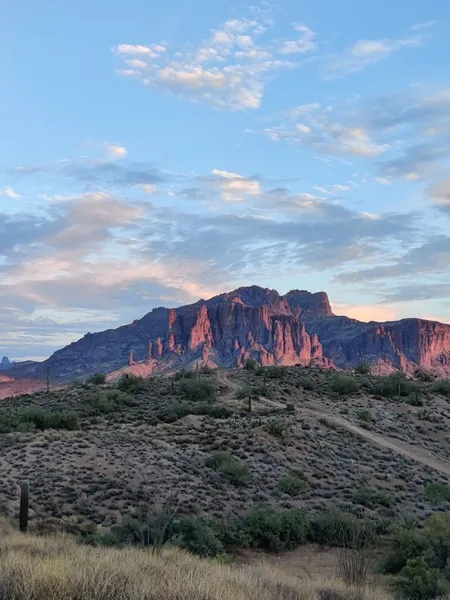
Superstition Mountains

Survey Control
High-accuracy topographic data collection, drone mapping, and drafting support for engineering and construction professionals in Arizona.
High-resolution orthomosaics and aerial site documentation to track project progress and capture existing conditions.
Accurate surface modeling and feature extraction to bridge the gap between the field and the design office.
Civil 3D and drafting support. Turning raw point clouds and field data into clean, standard-compliant deliverables.
Examples of our topographic and aerial data collection.
Superstition Mountains
Survey Control